Search Your Electorate
ELECTORATE
Hughes NSW
Your electoral candidates
View your local candidates below.

Michael O'Neill
IMO Party
Senate
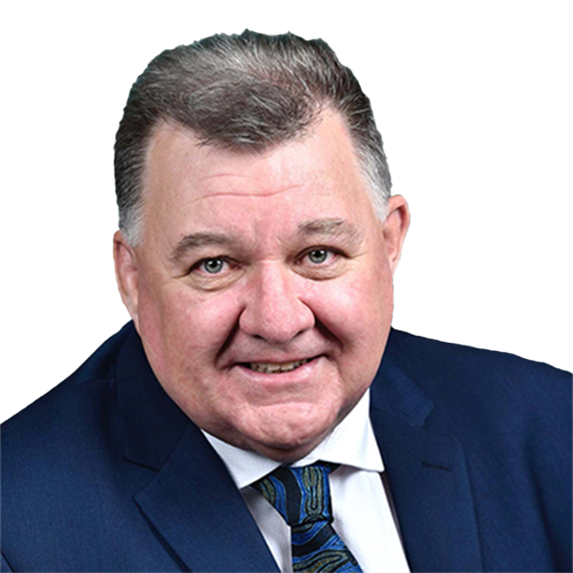
Craig Kelly
United Australia Party
House of Reps

Marelle Burnum Burnum
IMO Party
Senate
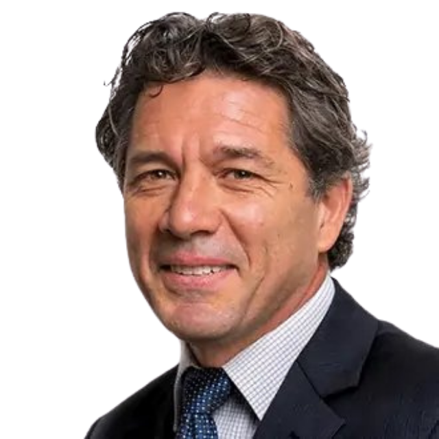
Matthew Hopkins
Great Australian Party
Senate

Selena Clancy
Australian Values Party
Senate
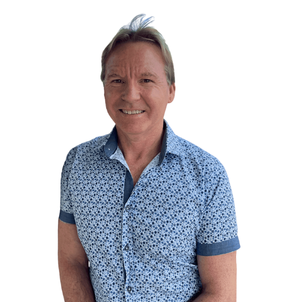
Dave Gilbert
Australian Values Party
Senate
Electorate Information
State/Territory: New South Wales
Date Name & Boundary Gazetted: 25 February 2016
First Election This Name Was Used At: 1955 federal election
First Election This Boundary Was Used At: 2016 federal election
Name Derivation: Named in honour of the Rt Hon. William Morris Hughes CH KC, 1862–1952. Hughes was the Prime Minister of Australia (1915–23) and a Member of the House of Representatives (1901–52).
Square Area: 369 Sq Km
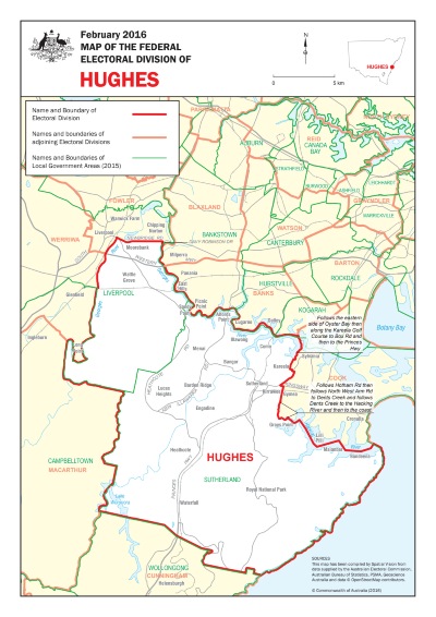
Location Description: Hughes is bound by Georges River, Newbridge Road and Davy Robinson Drive in the north, Liverpool City Council and Sutherland Shire Council in the west and south, follows Georges River, Oyster Bay, Kareela Golf Course, Box Road, Princes Highway, Kingsway, Hotham Road, North West Arm Road, Dent Creek and the Hacking River in the east. The main suburbs include Alfords Point, Bangor, Barden Ridge, Bundeena, Como, Engadine, Grays Point, Heathcote, Illawong, Kareela, Kirrawee, Lucas Heights, Maianbar, Menai, Moorebank, Sandy Point, Sutherland (part), Waterfall and Wattle Grove.This description reflects local government areas in existence in 2015.
Demographic Rating: Outer Metropolitan – situated in capital cities and containing large areas of recent suburban expansion.

We're better together
Find out how you can get involved and support your local community
