Search Your Electorate
ELECTORATE
Macarthur NSW
Your electoral candidates
View your local candidates below.

Adam Zahra
One Nation
House of Reps

Rosetta Sicari
United Australia Party
House of Reps

Michael O'Neill
IMO Party
Senate

Marelle Burnum Burnum
IMO Party
Senate
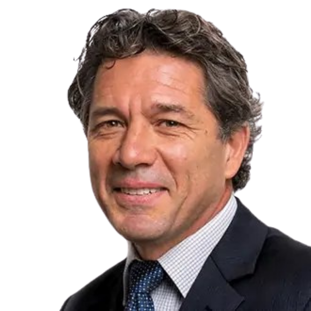
Matthew Hopkins
Great Australian Party
Senate

Selena Clancy
Australian Values Party
Senate
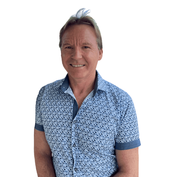
Dave Gilbert
Australian Values Party
Senate
Electorate Information
State/Territory: New South Wales
Date Name & Boundary Gazetted: 25 February 2016
First Election This Name Was Used At: 1949 federal election
First Election This Boundary Was Used At: 2016 federal election
Name Derivation: Jointly named in honour of Elizabeth Macarthur, 1766–1850 and Captain John Macarthur, 1767–1834. The Macarthurs were early settlers in New South Wales and founders of the Australian merino wool industry.
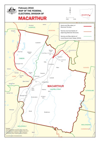
Square Area: 363 Sq Km
Location Description: Macarthur covers an area from The Northern Road, Narellan Road, and the western border of the Campbelltown City Council in the west to the eastern border of the Shire of Campbelltown in the east. The northern boundary follows the northern border of the Camden Council and Campbelltown City Council, Campbelltown Road, Williamson and Henderson Roads. The southern boundary follows the southern boundary of the Campbelltown City Council. The main suburbs include Airds, Blairmount, Bradbury, Campbelltown, Catherine Field, Claymore, Currans Hill, Denham Court, Glen Alpine, Gilead, Harrington Park, Ingleburn, Leppington, Leumeah, Menangle Park, Minto, Oran Park, Raby, Rosemedow, St. Andrews, St. Helens Park and Wedderburn.This description reflects local government areas in existence in 2015.
Demographic Rating: Outer Metropolitan – situated in capital cities and containing large areas of recent suburban expansion.

We're better together
Find out how you can get involved and support your local community
