Search Your Electorate
ELECTORATE
Watson NSW
Your electoral candidates
View your local candidates below.
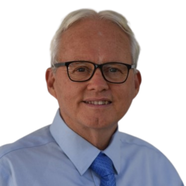
Michael O'Neill
IMO Party
Senate

John Koukoulis
United Australia Party
House of Reps

Marelle Burnum Burnum
IMO Party
Senate
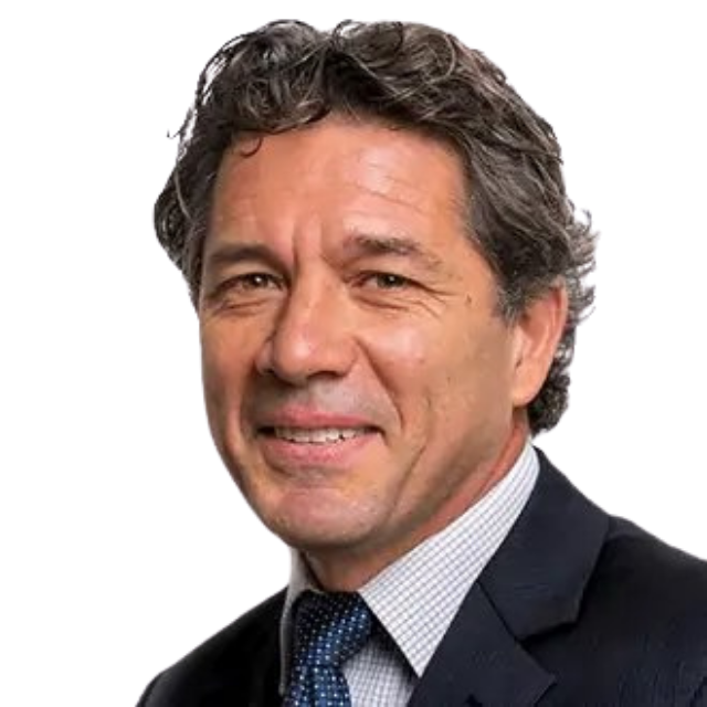
Matthew Hopkins
Great Australian Party
Senate

Selena Clancy
Australian Values Party
Senate
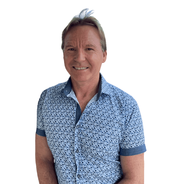
Dave Gilbert
Australian Values Party
Senate
Electorate Information
State/Territory: New South Wales
Date Name & Boundary Gazetted: 25 February 2016
First Election This Name Was Used At: 1934 federal election Note: The name was retired for the 1969 federal election and resurrected for the 1993 federal election.
First Election This Boundary Was Used At: 2016 federal election
Name Derivation: Named in honour of the Hon. John Christian Watson, 1867–1941. Watson was Prime Minister of Australia (27 April–17 August 1904) and a Member of the House of Representatives (1901–10).
Square Area: 47 Sq Km
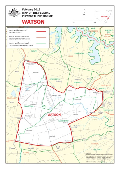
Location Description: Watson covers an area from the Main Suburban Railway, Centenary Drive and the Hume Highway in the north to the South Western Motorway, Kingsgrove Road and Canterbury Road in the south. In the east by Old Canterbury Road and Prospect Road and in the west by Fairford Road, Stacey Street, Rookwood Road, Joseph Street and Olympic Dive. The main suburbs include Ashfield, Bankstown (part), Belfield, Belmore, Campsie, Canterbury (part), Chullora, Croydon Park, Enfiled, Greenacre, Kingsgrove, Lakemba, Mount Lewis, Punchbowl, Rookwood, Roselands and Strathfield South.This description reflects local government areas in existence in 2015.
Demographic Rating: Inner Metropolitan – situated in capital cities and consisting of well-established built-up suburbs.

We're better together
Find out how you can get involved and support your local community
